Distance: about 3 miles round-trip
I love this swimming hole! The water is always refreshing and it’s usually less crowded than Snake Hole (the other swimming hole at Sugar Hollow), which is on the North Fork Moormans River trail. It is a steeper and longer hike to get to Blue Hole, but well worth the extra work.
 You can’t tell from the picture, but this swimming hole is quite deep. There are places where I have not been able to touch bottom (not that I’ve tried too hard.) Obviously this depends on recent rain fall and water levels.
There used to be a rope swing. You can read about that here.
Other rope swings have appeared and disappeared in recent years. As of June 2020, there is one just in front of the falls.
Directions from Charlottesville:
To get to Sugar Hollow, take Barracks Road away from town. Barracks road turns into Garth Road. Continue several miles. At White Hall, you will come to a very sharp turn in the road . Piedmont Store will be directly in front of you. Garth Road takes a sharp right. You want to stay straight, keeping Piedmont store on your right as you pass it.
This is 614. Continue a few more miles. Eventually you will climb a steep hill and see the dam and then Charlottesville Reservoir on your left. At the top of the hill, the road turns to gravel. Maybe a half mile after this the road is blocked by a gate.
Park here.
There are some spots off to the left, but later in the day cars just line up along the side of the road.
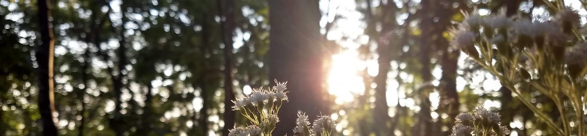
 You want to take the Moormans River trail along the South Fork of the Moormans River. The cement post will point you in the direction that you want to go. You do not continue up the road you drove in on.

 From the parking area, walk around the metal gate (the one to the left, not the one blocking the main road). Follow the crushed gravel path that leads to what is usually a rock hop across the river (lately it’s been a ford).
 The trail continues on the other side of the river. It is about a 1.5 mile hike up to Blue Hole, which will be on your right. You will have to climb down from the trail to get to it.
There is another river crossing before you reach blue hole. This is usually more than a rock hop.
You will also pass an old chimney a little after this river crossing (and about 1/2 a mile before you reach blue hole). It is off the trail to the left and possible to miss if you’re not paying attention.
If you come to the intersection with the Turk Branch trail, you have gone too far.

Blue Hole Hike Elevation Map – One Way
Happy swimming!

Jo, thanks for helping us figure out how to get to Blue Hole. We went there a couple of weeks ago to celebrate my son’s birthday, and it was a fantastic discovery. I wrote a blog about it and give you a “thank you” in the blog. Have a great Friday.
Looks like you had a blast! Your picture of the reservoir is beautiful. Glad I could help get you there 🙂
Thanks for the great post, Joanne. I’m going to share your story on our website – our guests are always looking for outings, and swimming holes in summer are such a treat.
Thanks, Michael. Swimming holes are such a treat on a hot day! I hope your guests enjoy finding one of my favorites. 🙂
Do you know any good swimming holes near Stanardsville, VA 22973 [North of CVLLE]?
Please reply by email…
Scott
Hi Scott, I don’t know any right around there, but you could try White Oak Canyon. There’s a nice swimming hole at the lower falls. http://www.virginia.org/Listings/OutdoorsAndSports/WhiteoakCanyon/
Is it dog friendly?
Yes.